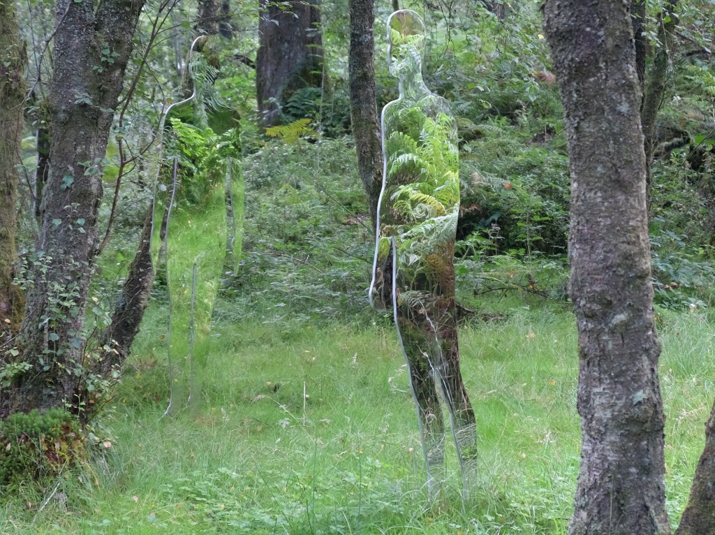
Walkers on the trails at the Forest Lodge Visitor Centre near Aberfoyle might be surprised to encounter some silent figures lurking among the trees. In fact, they are easy to miss but, once seen, are fascinating. They are the work of Scots sculptor Rob Mulholland and aim to encourage us to think about our relationship with both the natural and the man-made environment.
In 2009, Mr Mulholland created a series of six 1.8 metre high sculptures in polished stainless steel for temporary installation near what was then known as David Marshall Lodge.* The installation proved so popular, that Mr Mulholland was commissioned to create a further group of six, life-sized figures for permanent display. Describing the project on his website, the sculptor says: “Before the First World War, this area of Scotland was open hillside with small sheep farming crofts (farms) and rural communities. The crofters were moved to other land by the government as there was a desperate need for timber after the war. The area was planted with fast growing conifer trees suitable for harvesting softwood and the landscape altered once again. One can still see the faint outlines of the crofts and past settlements within the forest.”
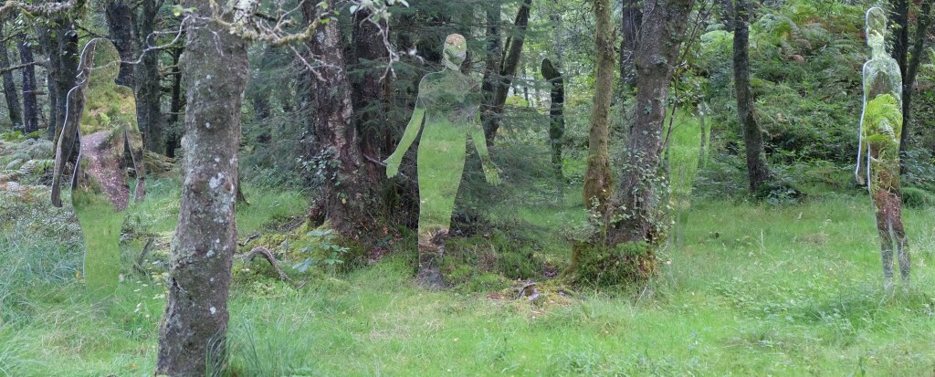
How many figures are in this image?
It is these individuals, the previous residents of the area, that the sculptures represent. They stand quietly in the forest, reflecting the environment and sometimes passers-by. From some angles, they appear in outline, from others they merge into the background, barely distinguishable from the trees around them.
You can read more about these figures and Rob Mulholland’s other public art online here.
* The lodge was built by the Carnegie UK Trust in the 1950s based on the ideas of its chair David Marshall. The Trust gifted the Lodge to the Forestry Commission in 1960s but it continued to be known as David Marshall Lodge until 2013.
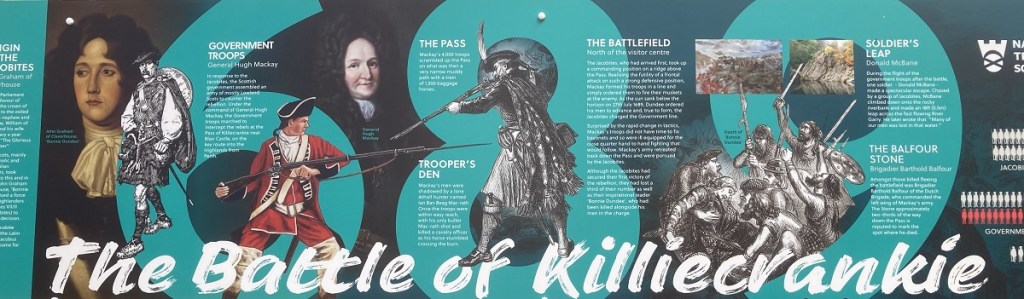
Today marks the 334th anniversary of the Battle of Killiecrankie. It was fought on July 27, 1689 between Jacobite forces led by John Graham of Claverhouse, first viscount Dundee* and government troops under Major-General Hugh Mackay. The battle was part of the Highland War that followed the overthrow of the Catholic king James VII of Scotland and II of England in favour of Protestant William of Orange and his wife Mary (James’s elder daughter). Heavily outnumbered, the Jacobite forces achieved an unexpected victory in the short battle that evening but Dundee was shot dead in the final stages. Without Dundee, the Jacobites were unable to replicate their success and were defeated the following month at Dunkeld, and although a fierce campaign of raid and counter-raid followed, the war ended in a truce in the summer of 1691.
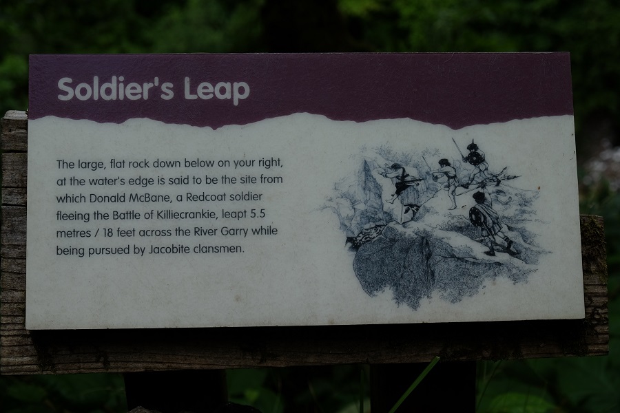
The Battle of Killiecrankie was the first major action in Scotland between supporters of the ousted King James (the Jacobites) and William of Orange’s army. Near the battle site, at the northern end of the Pass of Killiecrankie, a National Trust for Scotland visitor centre summarises the story. The main action took place about a mile from the visitor centre, across what is now the A9 main road from Perth to Inverness, but the narrow, deep gorge of the pass played an important role in the battle too as government soldiers advanced along it then fled back the same way, pursued by their Jacobite opponents.
Imagine making this leap with enemy soldiers hot on your heels.
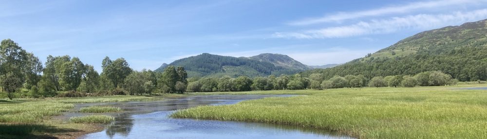
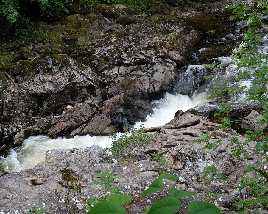
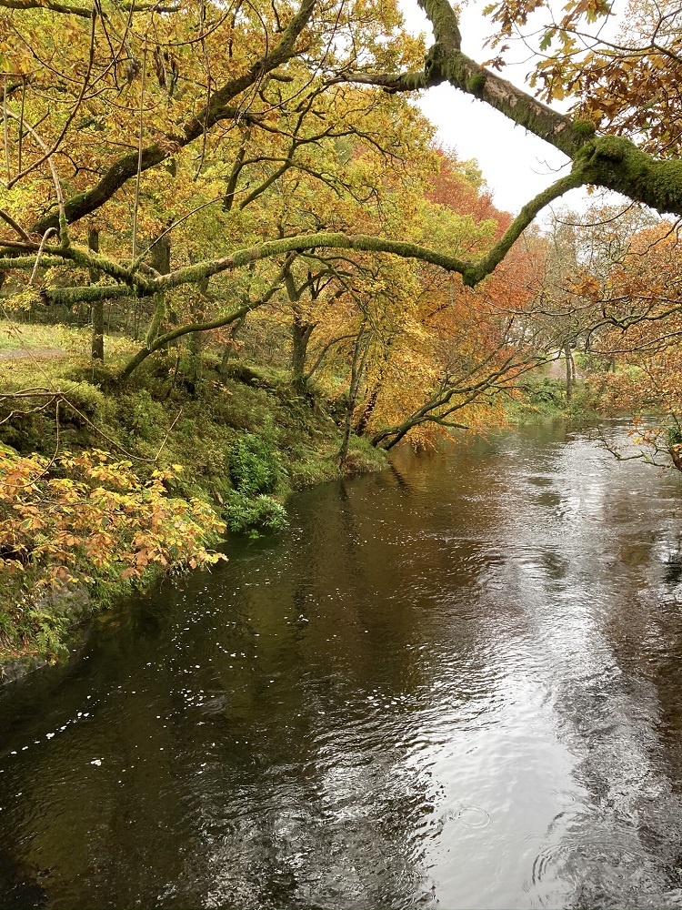
The river flowing through the Pass of Killiecrankie is the Garry and there are several riverside walks along the gorge which make for a lovely afternoon out amidst beautiful scenery. The pass is also a rich wildlife habitat and the National Trust has plenty of information at the visitor centre and along the routes about its conservation work.
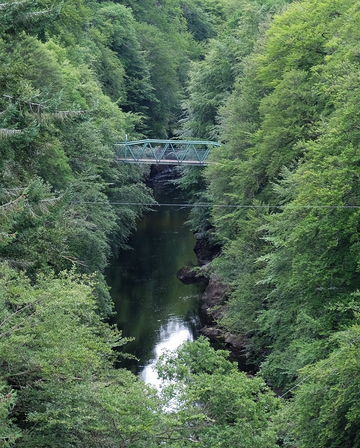
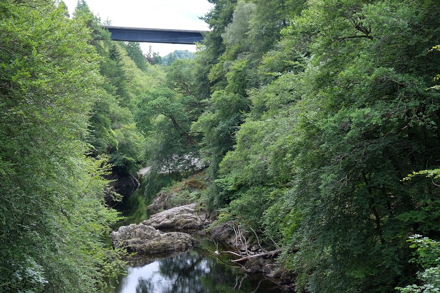
About two-thirds of the way along the pass, a green, metal footbridge spans the river. Looking north up the pass, the drop to the gorge floor seems huge but, turning to the south, the road bridge is even higher, emphasising the sheer depth of the pass.
The footbridge across the Garry pictured from the road bridge.The River Garry road bridge is over 130 feet above the gorge floor.
The height of the road bridge above the gorge means adventurous folk can hurl themselves off a platform slung below it towards the river, 132 feet below, on the end of a rope. Bungee jumping isn’t for me but when I passed yesterday, there were several people leaping into the abyss and a small audience had gathered on the riverside to watch. In the same area, is a course of nine zip lines through the trees and across the river, so if physical thrills are your thing Killiecrankie is a good place to go.
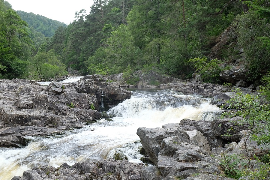
The southern end of the pass broadens out towards the confluence of the rivers Garry and Tummel. Close to this junction are the waterfalls at Linn of Tummel. These are well worth a visit. Queen Victoria clearly thought so as there is an obelisk nearby commemorating her visit to the spot in 1844. (Is there anywhere she didn’t visit?) The walk to the falls passes under the road bridge and continues along the western river bank. There are plenty of places where you can get right down to the water and yesterday paddle boarders, canoeists and swimmers were making the most of ready access to the water from extensive pebble beaches.
The falls at Linn of Tummel.
* John Graham was only around 40 when he was killed at Killiecrankie. He had served in the military since his early 20s and was recognised as a skilled leader. His relative youth and handsome face earned him the nickname Bonnie Dundee in some quarters. However, others remember him as Bluidy Clavers because of his violent suppression of covenanters in south-west Scotland. But that’s another story.
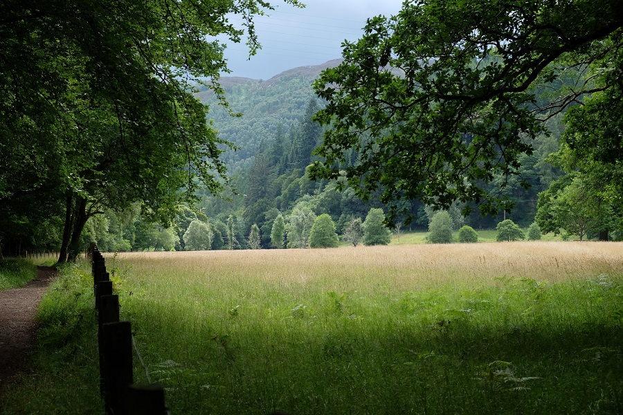
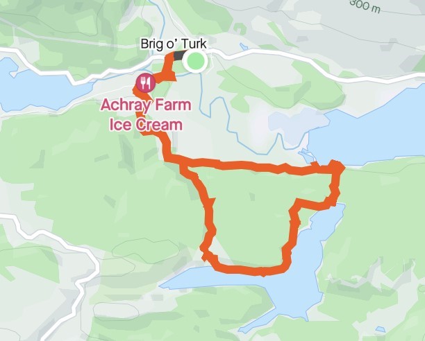
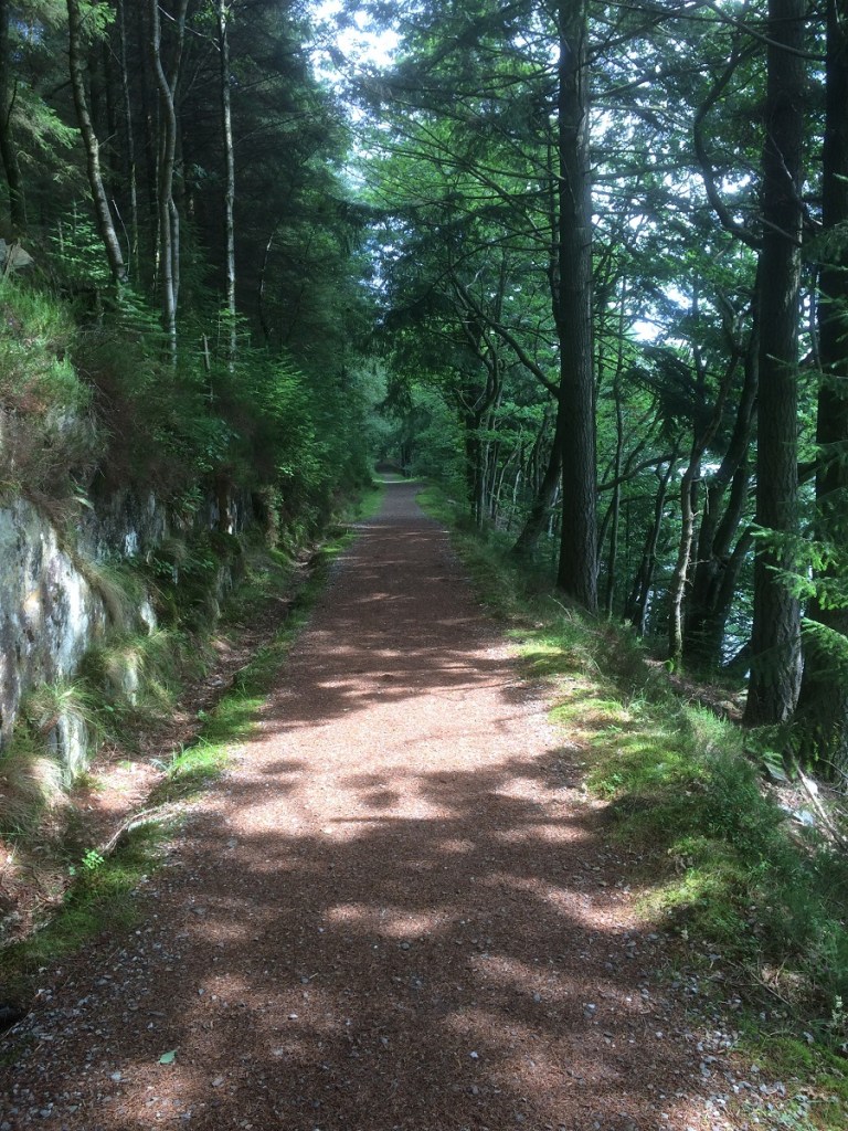
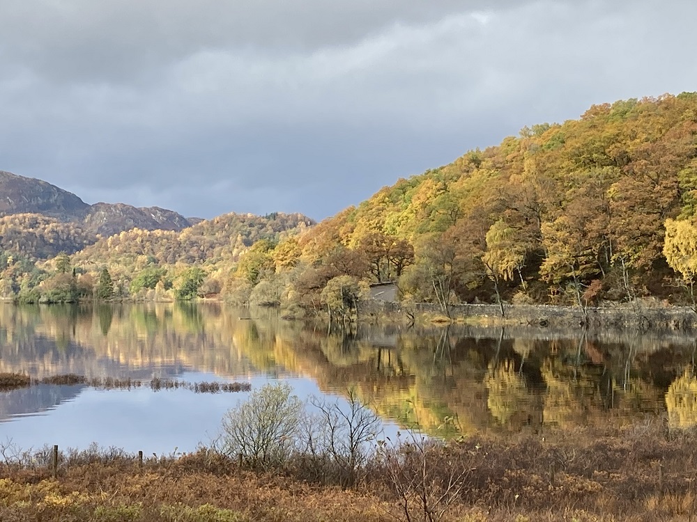
One challenge of living in The Trossachs is deciding which of the many options to take for a walk in lovely countryside on a fine summer’s day. This was my dilemma last week when I found myself with time to spare on a wonderfully sunny afternoon. I hadn’t been to Loch Drunkie for a while so a walk there seemed a good option, and returning by Loch Venachar made for a good circular route. The walk was a whisker over six miles and took a couple of hours at a leisurely pace with plenty of stops to admire the view.
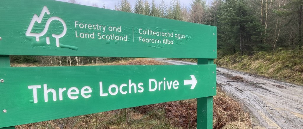
I began by crossing Brig o’ Michael and joining the Three Lochs Forest Drive at Achray Farm. Turning left towards Loch Venachar, I followed the drive for about a mile then turned off to the right onto a rough path leading uphill through the trees to cut out a long loop of the Forest Drive. After about half a mile I re-joined the Forest Drive near the Loch Drunkie picnic area.
It was still lunchtime when I arrived and the area was busy with other walkers and visitors stopping on their tour of the Forest Drive to admire the view and enjoy a picnic. Their peace was somewhat disturbed when a pickup with a large trailer rolled up and disgorged two workers with strimmers and industrial mowers. I felt sorry for them in all their protective gear on such a hot day. They quickly set to with their noisy machinery, so I left them to it and headed back into the quiet of the forest.
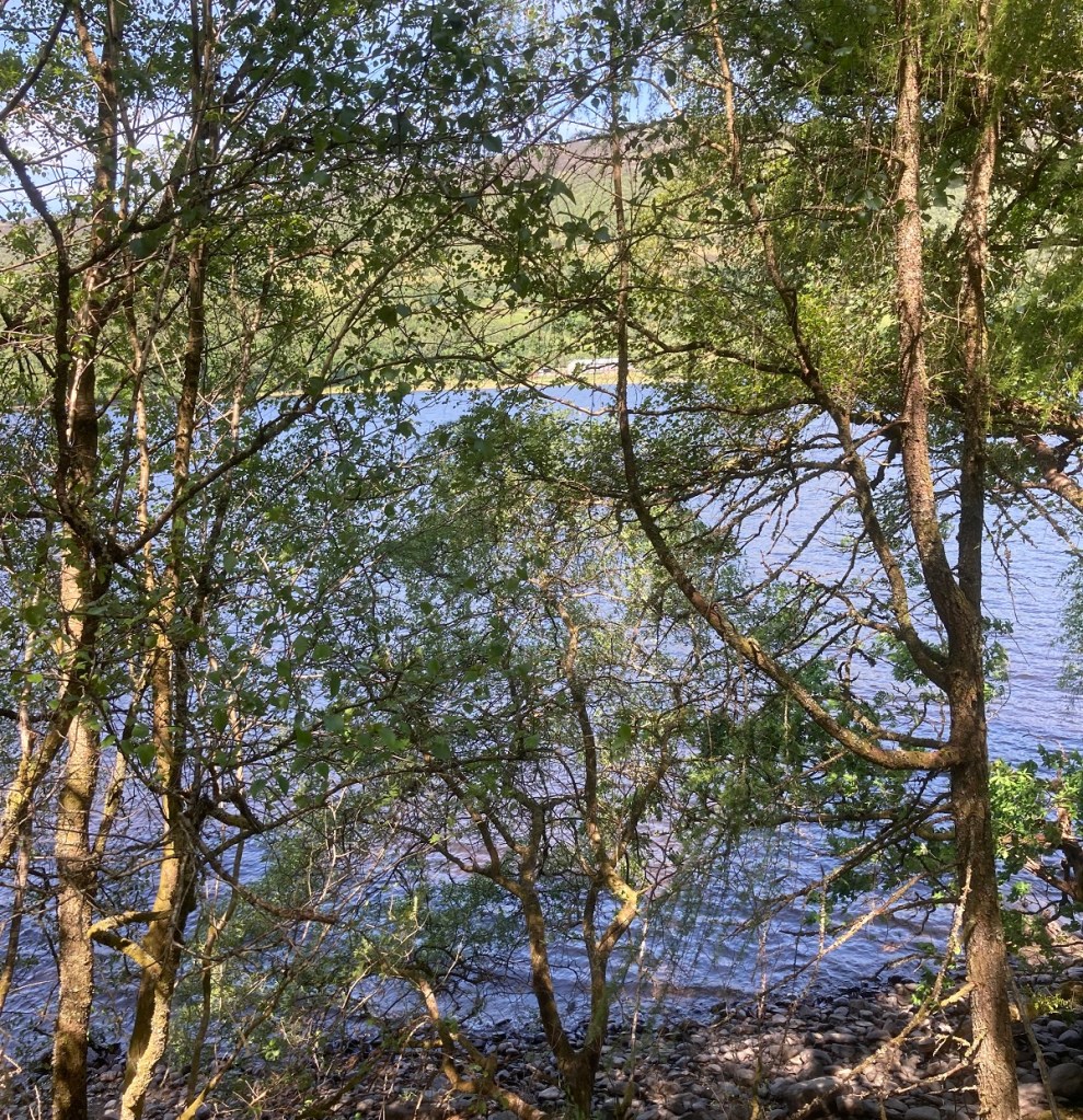
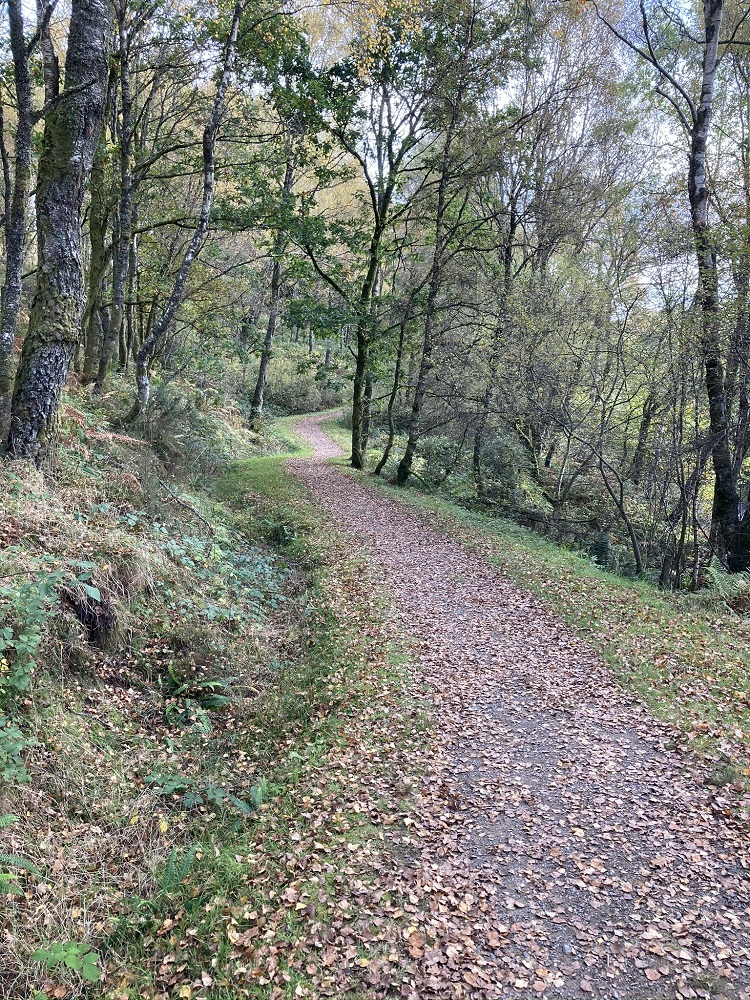
I took a shady path along the shore of the northern ‘arm’ of the loch which forms part of the Loch Drunkie Trail (more about this trail here). The path cuts through the trees high above the waterline at the start before descending eventually towards the water. There’s access to the shore at several points and plenty of convenient boulders on which to sit and admire the view.
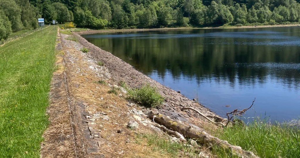
The remainder of the Loch Drunkie Trail doubles back to return through the forest to the picnic area, but I continued on along the lochside to the dam at the northern end of the loch. All the way, iridescent-blue damselflies darted around my feet, sometimes settling on stones at the side of the path. Despite all my attempts to snap a photo, they were too fast, flying off immediately I approached.
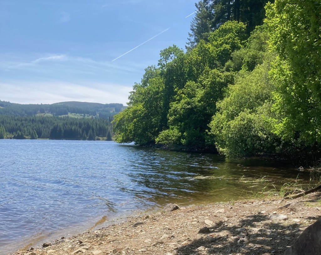
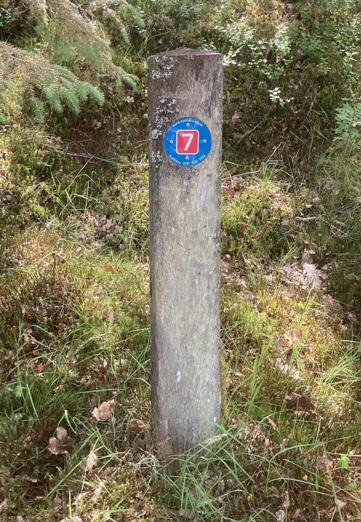
Leaving Loch Drunkie and its dam behind, I continued north along a minor path heading downhill through the forest. Before long, Loch Venachar was visible through the trees and I emerged onto the Aberfoyle to Callander section of National Cycle Route 7 (NCR 7).
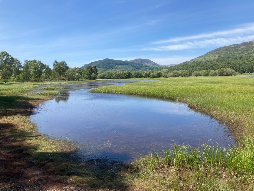
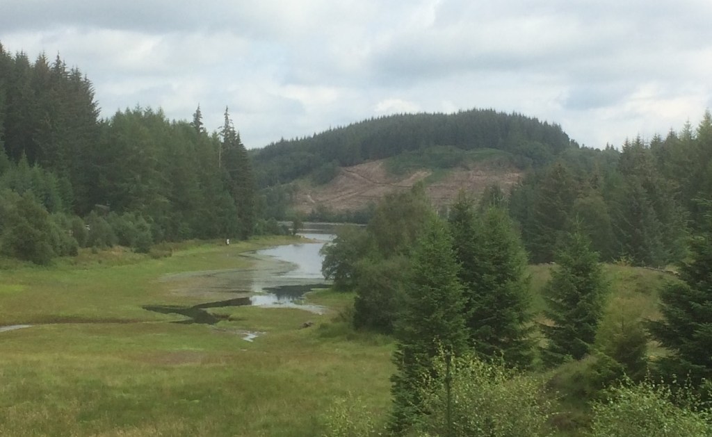
After following the shore for a while, the path leads past the Black Water Marshes, a Site of Special Scientific Interest (SSSI), important as a flood plain and freshwater habitat.
The tree-lined path then continues on for another half a mile before joining the Three Lochs Forest Drive and the remainder of my walk followed the Drive back towards Brig o’ Turk.
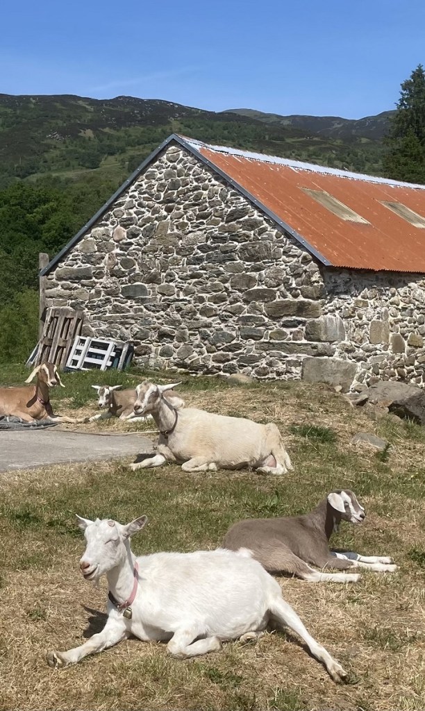
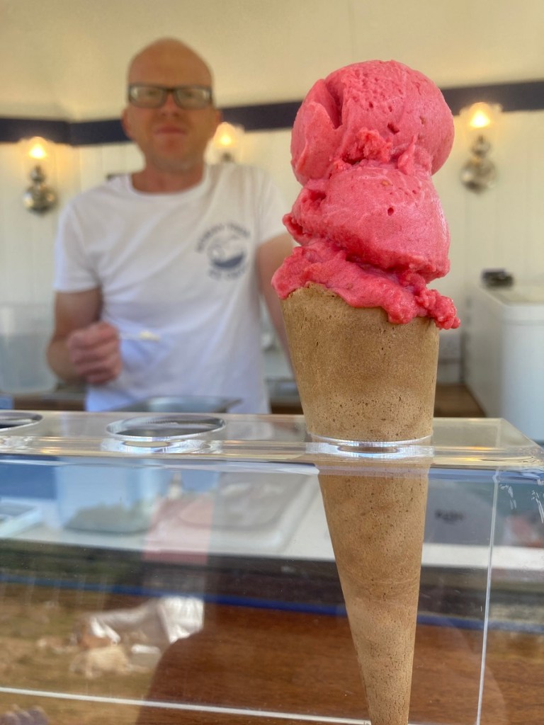
Near the end of the walk, I passed again through Achray Farm and was greeted by goats lazing in the sun. The farm’s ice cream kiosk was open and, luckily for me as someone who isn’t an ice cream fan (yes, there are such people!), it also sells sorbets. I rounded off my walk with a delicious and refreshing raspberry sorbet. A lovely end to a sunny afternoon in the countryside.
Walks around Brig o’ Turk are many and varied and the ever-changing weather simply makes things more interesting. Two walks around Loch Venachar, on consecutive days, were quite different experiences.
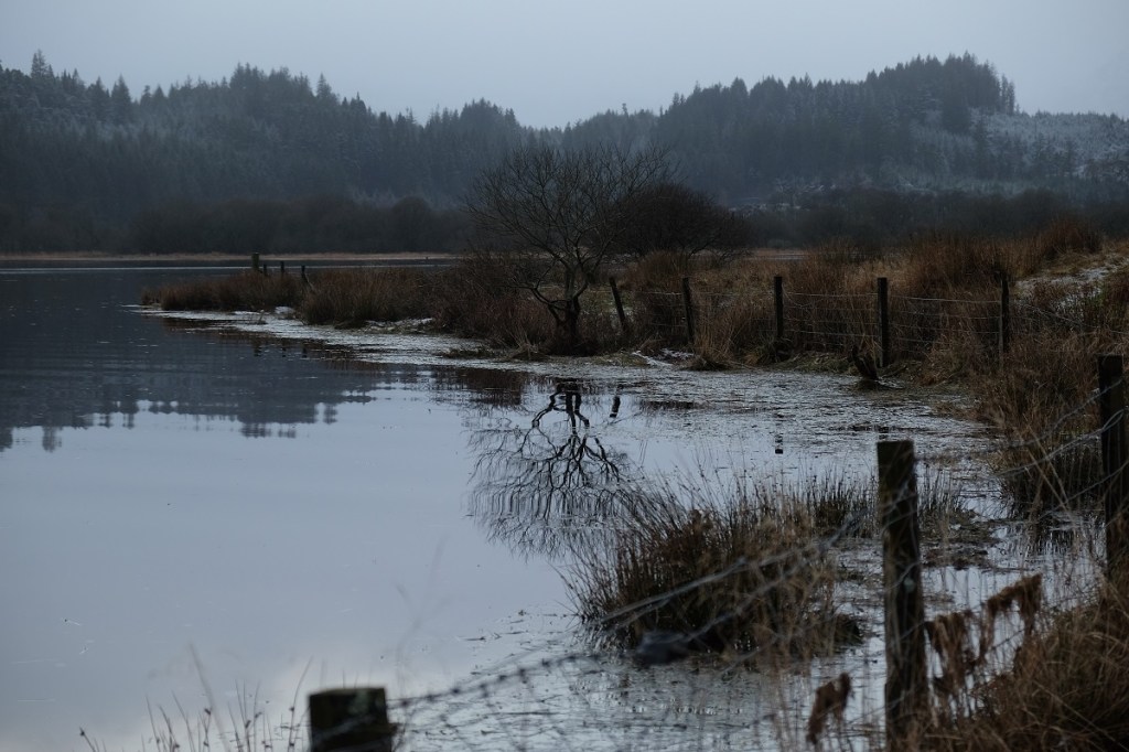
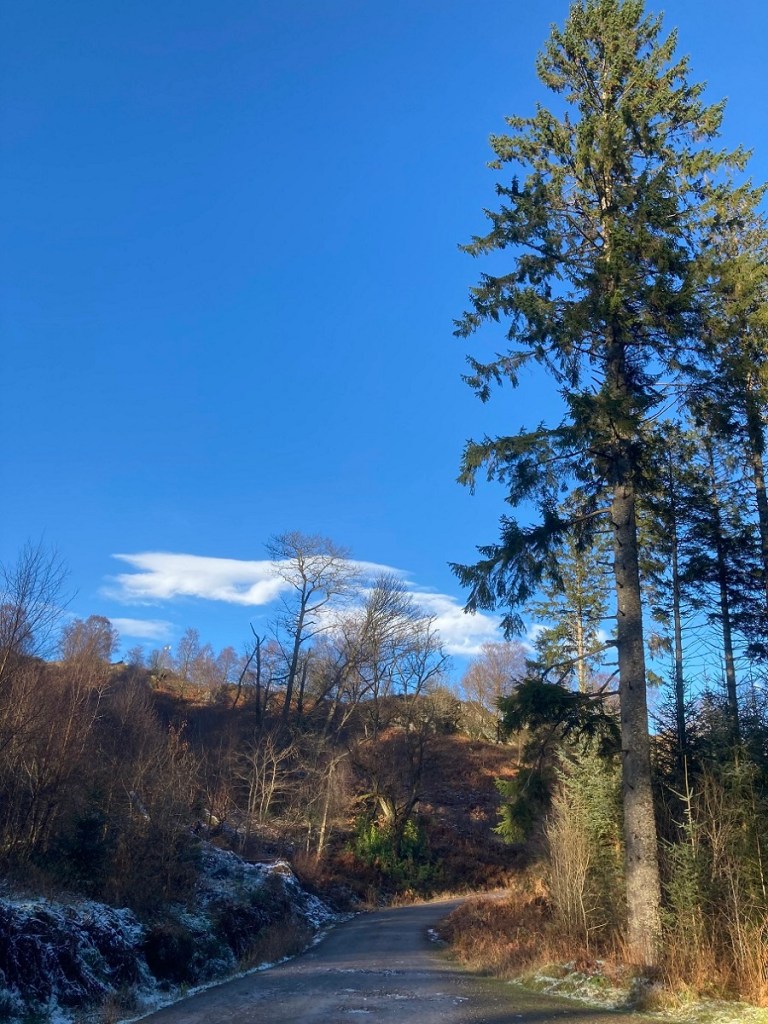
Walk 1, Loch Venachar’s north shoreWalk 2, west of Loch Venachar
Walk 1 was a waterproof and welly-boot walk with mud and snow the order of the day. Walk 2 was dry, crisp and icy so that walking boots – and sunglasses – were essential. The best advice we can offer visitors planning a walk in this particular Park (Loch Lomond & Trossachs National Park) is to come prepared for everything. 😉
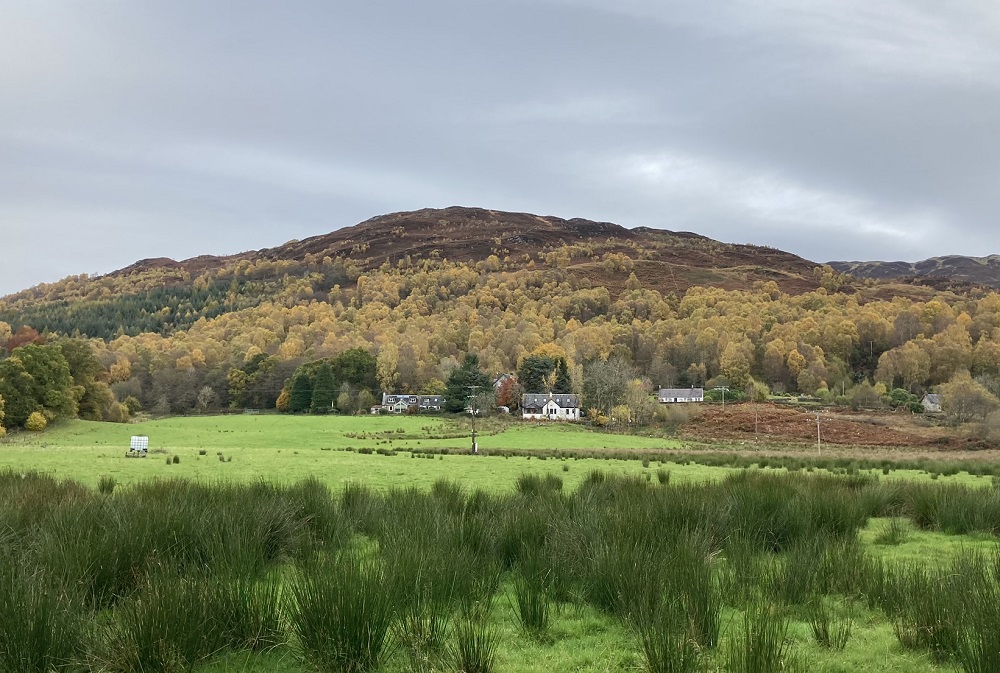
The first few weeks of the new decade have been mostly wet and fairly miserable so a brief spell of fine weather and sunshine recently was the perfect excuse to get outside. And what better way to blow off the cobwebs than with a short hillwalk around the village on a route that offers panoramic views of the surrounding countryside.
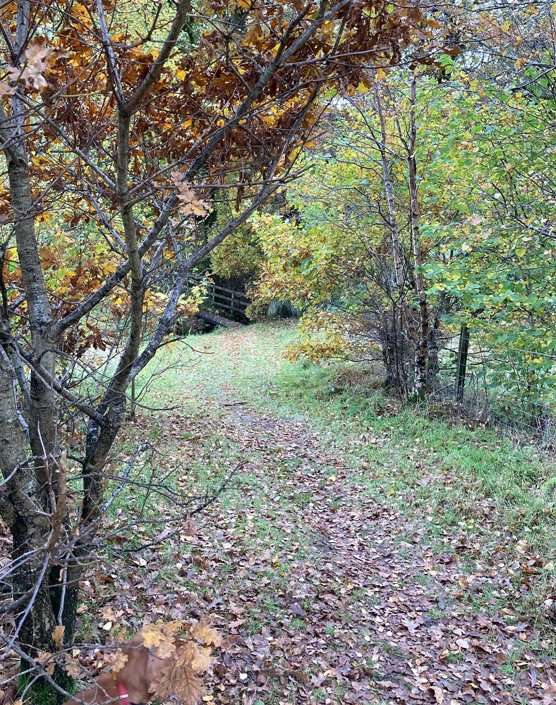
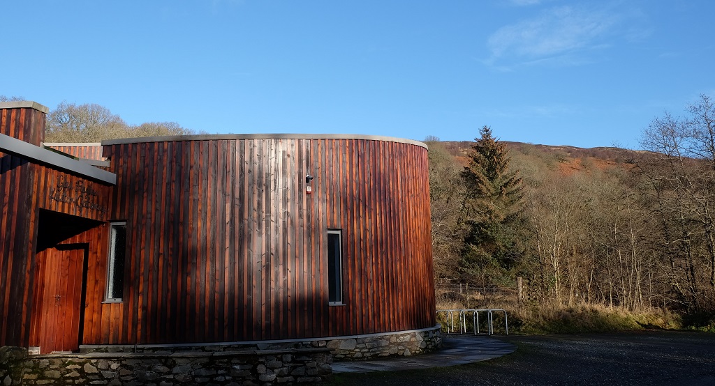
For guests at Tigh a’ Mhaide, the Lendrick Hill walk begins at the door. Turning east on to the road through the village, the walk follows the pavement as far as it goes before continuing along a path and crossing the A821 at the eastern edge of Brig o’ Turk. Once on the north side of the road, the path divides and boardwalks lead both right and left. Here, our walk turns right and follows the signposted path for Lendrick Hill and the Woodland Trust for Scotland (WTS) visitor gateway.
For most visitors, the Lendrick Hill walk begins when they park beside the WTS visitor gateway but guests at Tigh a’ Mhaide can walk there. Lendrick Hill rises behind the gateway.
The cylindrical shape of the wood-clad visitor gateway reminds me of an iron-age broch, though, given it was created by the Woodland Trust, perhaps the allusion is intended to be to tree trunks. The gateway is open from April to October. In addition to leaflets, maps and information about the Trust’s work in the area, it offers a children’s play corner and toilets.
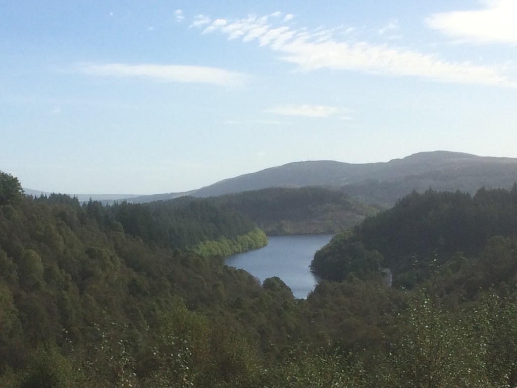
There are 22 major lochs and numerous smaller lochs and lochans in Loch Lomond and The Trossachs National Park. Among the smaller freshwater lochs is Loch Drunkie which lies to the south of Loch Venachar and is accessible from the Three Lochs Forest Drive off the Duke’s Pass between Aberfoyle and Loch Achray. The loch is the starting point for three walks.
Loch Drunkie is visible below from the Duke’s Pass
The loch’s name is a curious one and its origins are obscure. Drunkie is an anglicised version of the loch’s Gaelic name, Drongaidh. The name dates from at least the 15th century and may simply refer to the physical characteristics of the loch which lies in a hollow or depression in the landscape.
The first glimpse of Loch Drunkie in the distance from the Forest DriveContinue reading →
Is this your new site? Log in to activate admin features and dismiss this message