
The first few weeks of the new decade have been mostly wet and fairly miserable so a brief spell of fine weather and sunshine recently was the perfect excuse to get outside. And what better way to blow off the cobwebs than with a short hillwalk around the village on a route that offers panoramic views of the surrounding countryside.
For guests at Tigh a’ Mhaide, the Lendrick Hill walk begins at the door. Turning east on to the road through the village, the walk follows the pavement as far as it goes before continuing along a path and crossing the A821 at the eastern edge of Brig o’ Turk. Once on the north side of the road, the path divides and boardwalks lead both right and left. Here, our walk turns right and follows the signposted path for Lendrick Hill and the Woodland Trust for Scotland (WTS) visitor gateway.
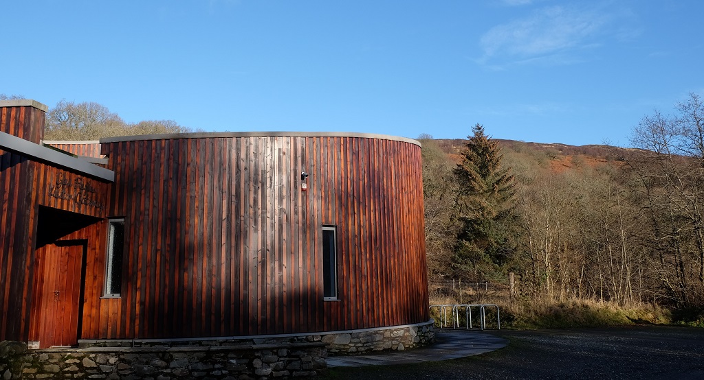
The cylindrical shape of the wood-clad visitor gateway reminds me of an iron-age broch, though, given it was created by the Woodland Trust, perhaps the allusion is intended to be to tree trunks. The gateway is open from April to October. In addition to leaflets, maps and information about the Trust’s work in the area, it offers a children’s play corner and toilets.
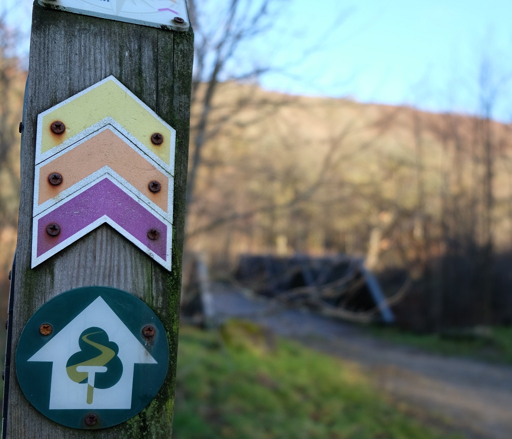
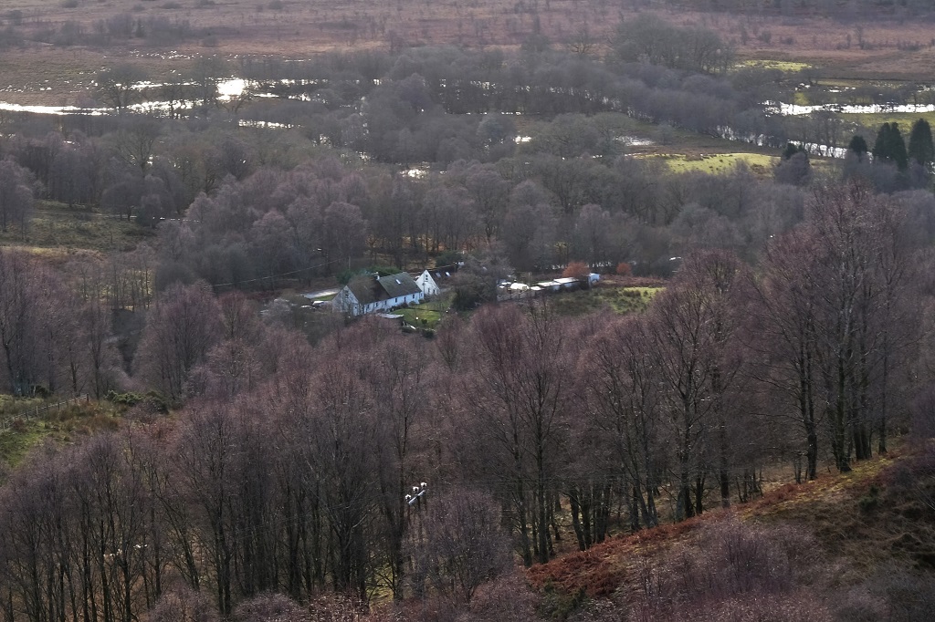
Our walk picks up the orange way-markers of the route on the far side of the gateway building and crosses the bridge over the stream. After passing through the gate beyond the bridge, the path turns left and begins to climb steeply towards the first viewpoint above the ruins of Drippan Farm.
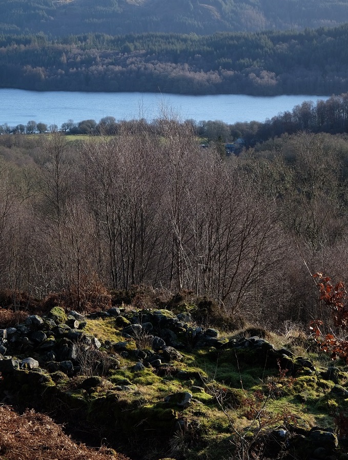
The jumble of stones in the foreground are all that remain of the farming township of Drippan, abandoned by the mid-19th century. Three benches in quick succession beside the path offer a chance to rest and enjoy the view across Loch Venachar to the south east.
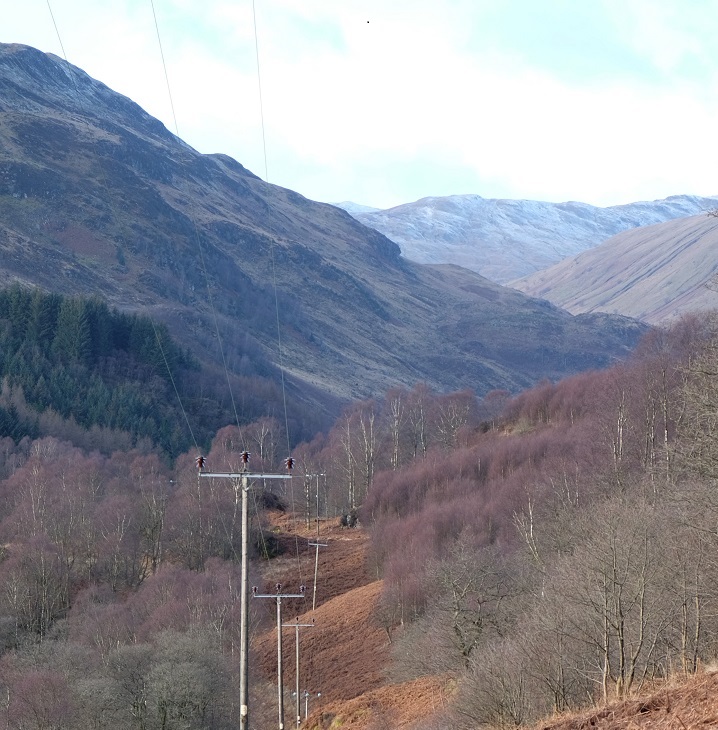
From here the path continues to climb, though less steeply, until it meets the Great Trossachs Path in a T-junction. Turning left, the path runs west above Brig o’ Turk and An Abhainn Dubh (The Black Water) as it flows from Loch Achray to Loch Venachar.

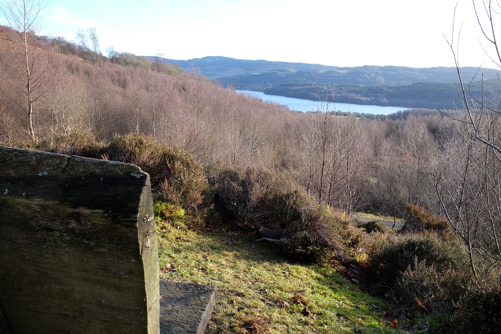
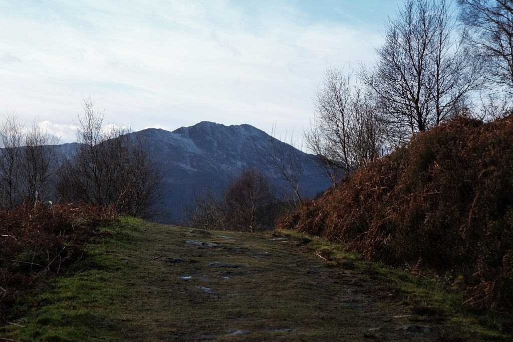
Returning to the main path from the waterfall, the walk continues west along the face of the hill. The path is broad, well-marked and mostly even under foot. Eventually, Ben Venue comes into view, rising at the west end of Loch Achray, and the path soon turns north to follow the contours of the hill.
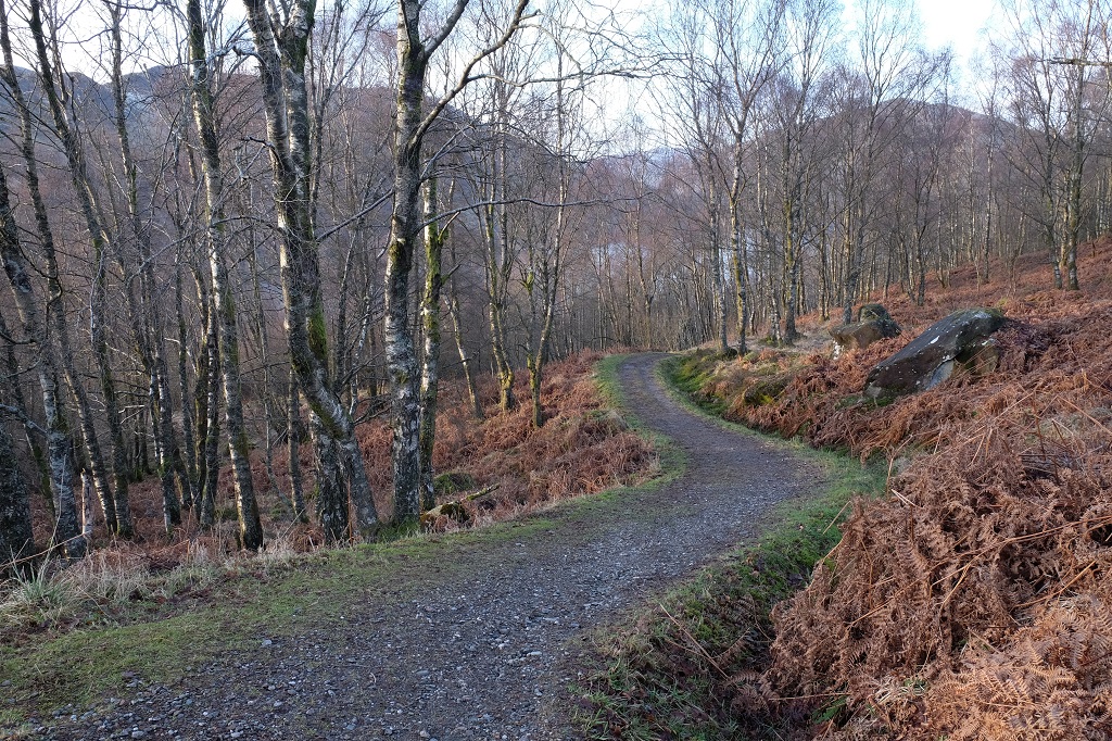
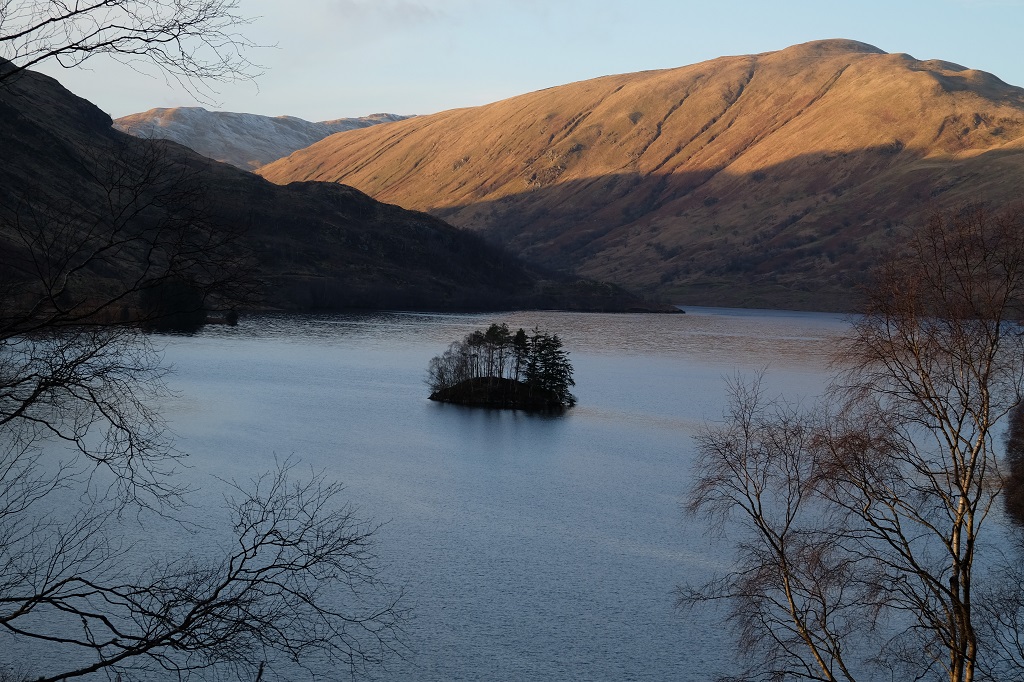
After following the path to its end, our walk emerges onto the tarmac road above the Glen Finglas dam and reservoir. Turning left onto the road, the path follows the eastern edge of the reservoir downhill and then descends through the trees to return to the village. In all, the walk covers about four miles.

*WONDERFUL Post.thanks for share..more wait .. 😉 ?
LikeLike